Spatiotemporal evaluation of eutrophication in reservoirs using satellite remote sensing (Panama)

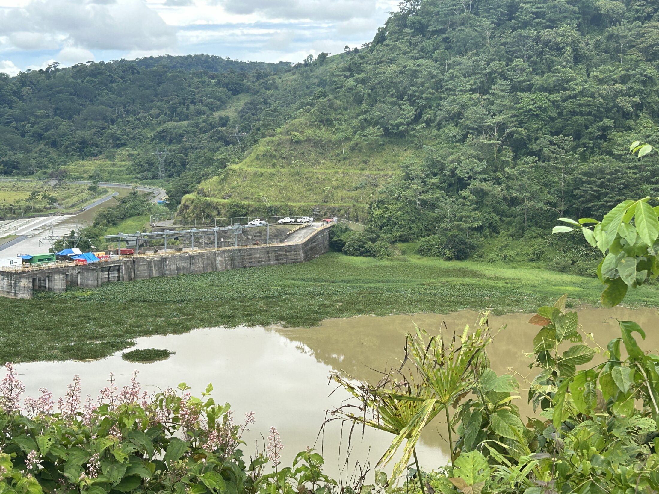
This study examines eutrophication in the hydroelectric reservoirs of Panama’s Chiriquí Viejo River Basin from 2017 to 2022. Multispectral satellite imagery was used to track spatiotemporal changes, with particular attention to water-hyacinth (Eichhornia crassipes) biomass, which blanketed up to 73% of the Baitún Reservoir in 2021. The results show that hydroelectric operating regimes foster nutrient accumulation, driving invasive-vegetation proliferation that degrades water quality, reduces biodiversity, and clogs downstream infrastructure – most notably causing critical filter blockages at the Paso Canoas water treatment plant. Sporadic control efforts and fragmented monitoring have allowed the problem to intensify. The findings highlight the need for a basin-wide, continuous hydrological-monitoring programme as the foundation for targeted, sustainable water-resource management.

